Tongariro National Park

From Napier we headed back in land across the Ruahine range and on the way visited the Springvale suspension bridge which crosses the Rangitikei river.
Rob had his first attempt at fishing when we stopped lunch with as usual no success.


Back on the road we got some fabulous views of the snow capped Ruapehu and Ngauruhoe, which featured as Mt Doom in Lord of the Rings.


 A quick visit to the Tourist Information centre told us that the walk we wanted to do was not possibly at the moment and they suggested we try later in our trip.
Directing us to a short walk to see the Waitonga Falls.


Then we drove up the road and then later found a great conservation stop over with brilliant views of Ruapehu.
As the sun set we watched the Snow boarders on their final descent of the day.


Tolaga Bay and Napier

We carried on around the Cape past Tikitiki and visited the Maori styled St Mary's Church.


The on down to Tolaga Bay and walked down the Wharf which is supposedly the longest in New Zealand.
We met a very colourful character who went by the name of The Captain and Rob had to rub noses in the Maori style of greeting.


The road continued through Kiwi fruit farmlands which are fenced in by tall tree windbreaks.


 On reaching Gisbourne we saw Poverty Bay with Cape Kidnappers and the Nicks Head together with Kaiti Beach which as you can guess from all the names was the site of Cooks first landfall.


Our final destination of the day was the town of Napier, this town suffered a major earthquake in 1931 and was completely rebuilt in Art Deco style. We spent a very enjoyable evening walking around the streets, like a step back in time.


East Cape

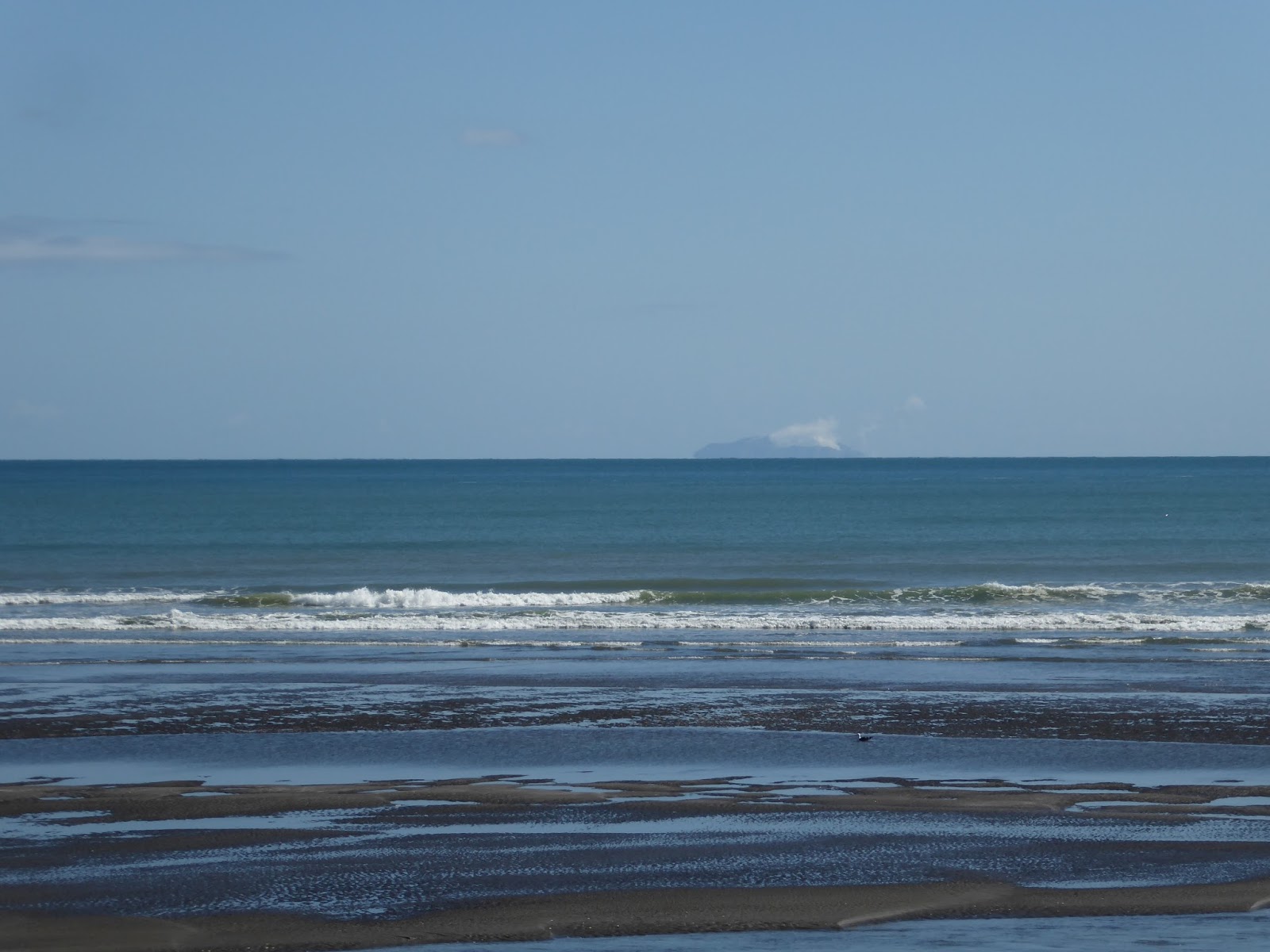
We continue in an easterly direction carrying past many Kiwi Fruit Farms. to join the 35 which goes right round the East Cape.  This area is much more quieter and with definitely less tourism.  Off the coast we get many glimpses of White Island, still an active volcano, and inland ones no longer active. 


Went to see some of the wetland areas and enjoyed watching the Fantails displaying.


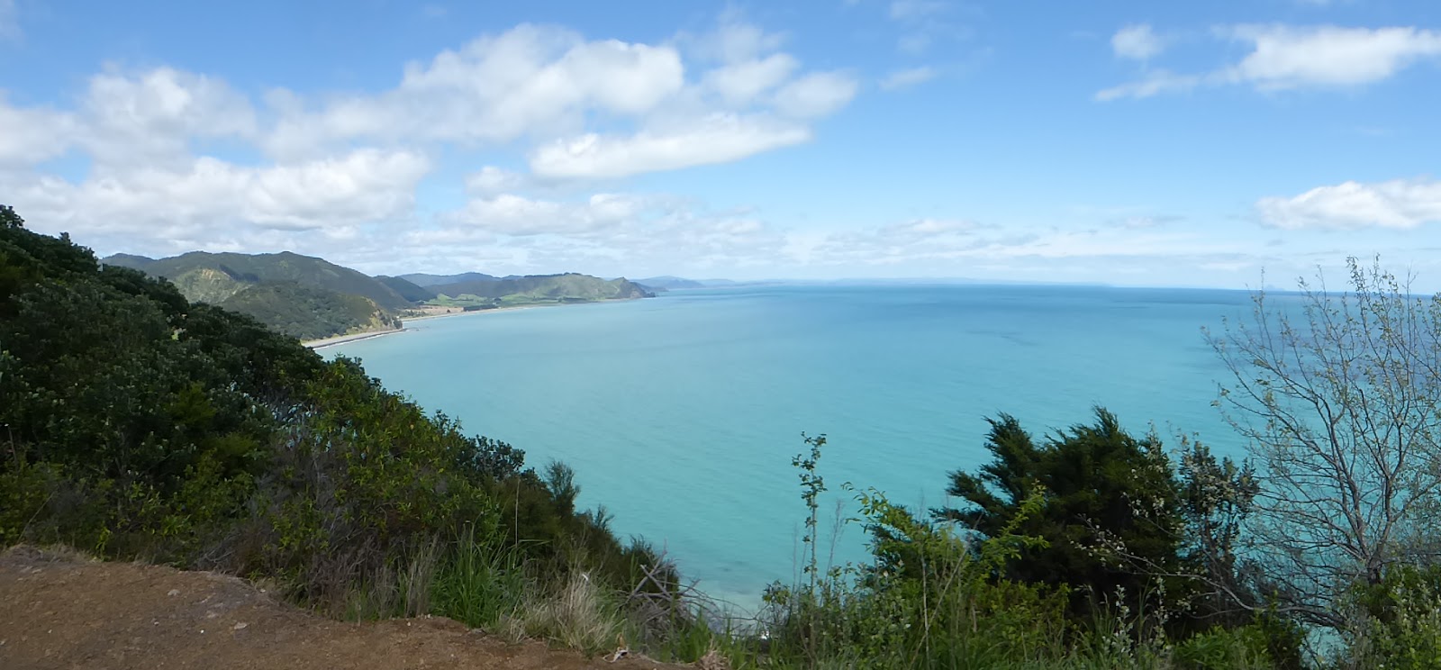
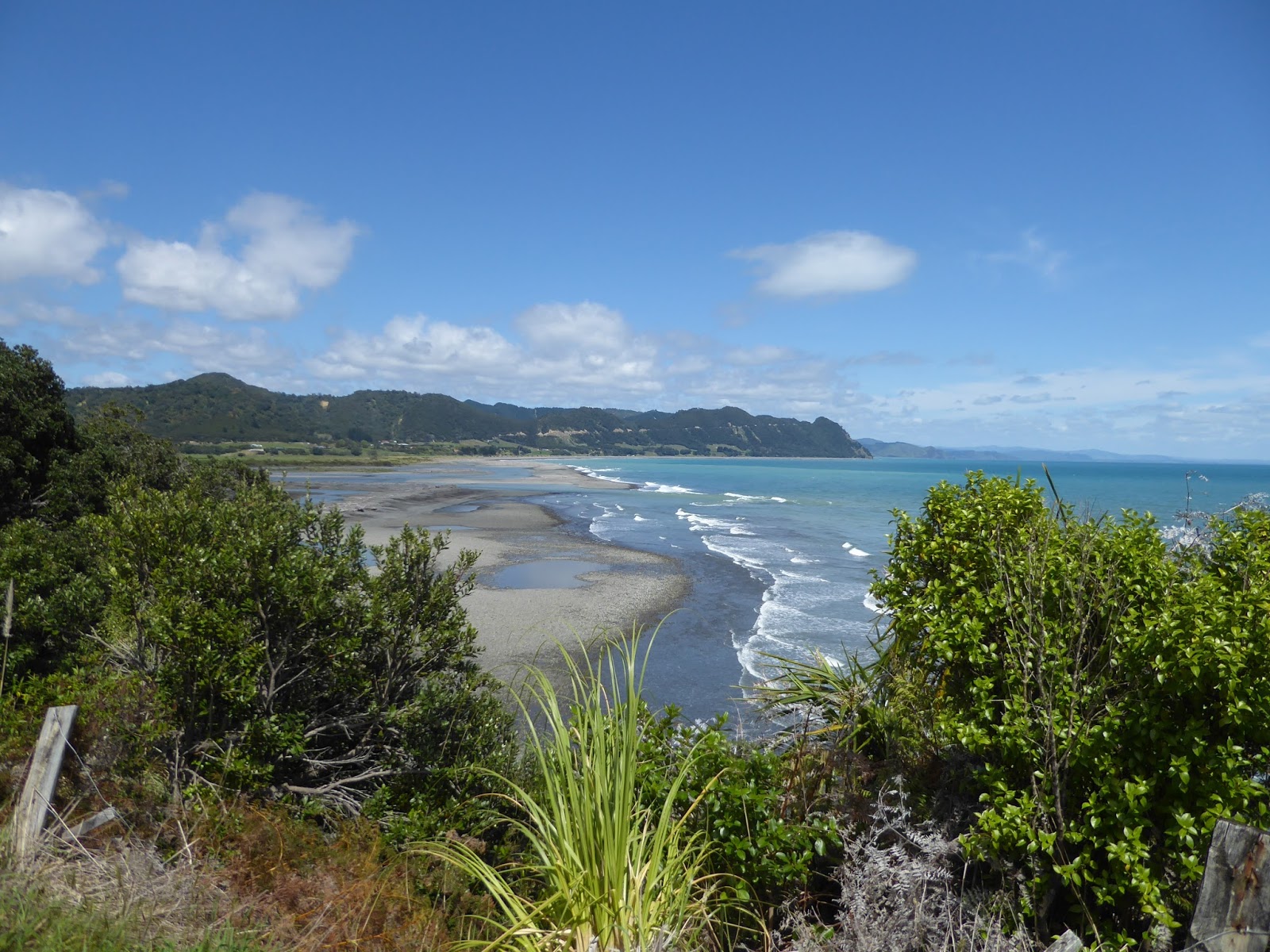
The weather was glorious and the views from the road spectacular.


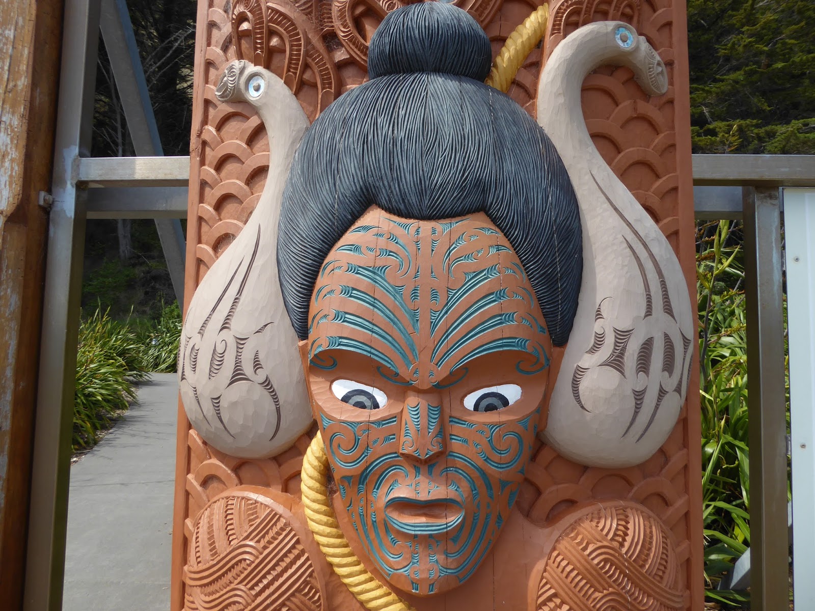
We pass the very pretty Raukokore Church and quite a few Maori meeting houses with their wonderful wood carving.


Our destination for the evening is the East Cape Lighthouse on the most easterly point of New Zealand.  The road is shrinking in size, we are down to a single track road but with no-one else on it there's no problem.


I loved this sign, we didn't see any on the road though.
 
 
We felt really brave at this point, the road had collapsed into the sea.  We took our hats off to the working crew who precariously perched their digger to the seawards side to let us through.


Nowhere for us to camp up at the lighthouse as the ground looked to muddy so back to the village of Te Araroa, past the largest Pohutukawa tree in New Zealand, to a pitstop site in the garden of a large house. 


Bay of Plenty

Woke up to clear skies, but after assessing the coastal road conditions decided that our van was a little bit too big to carry on northwards to the point.  Retracing our steps slightly we then take a turn to take us over to Waikawa.  This road quickly changes into a dirt track and again our route through seems impossible for a 2 wheel drive vehicle.  Back to Coromandel we go and then take a tarmac road over to the east coast.


More stunning scenery on this side and we take some time out to visit the beaches along here and around the Bay of Plenty


We find a small Freedom Camperstop near Opotiki for the night with some great views of a windswept beach and incoming storm.